


5 Types of Construction Projects That Benefit from Drone Mapping
Can one flight save days of fieldwork? Studies show that aerial data cuts site survey time by up to 60 percent. Builders now lean on drone commercial services to speed up planning, boost safety, and trim costs. The five project types below gain the most from precise drone mapping—and the reasons may surprise you.
1. High‑Rise and Commercial Towers
Urban lots give crews little room for error. Tight streets, tall cranes, and strict zoning rules demand exact measurements at every stage. Drone video services deliver overhead images that reveal material stockpiles, crane swing paths, and neighboring roof lines in one sweep. Next, automatic stitching software turns raw images into detailed 3‑D models. Site managers compare these models against BIM files to spot clashes before steel arrives. In addition, drone commercial services supply weekly progress clips. These clips help investors see milestones without leaving the office, keeping cash flow on track.
2. Highway and Road Expansions
Miles of asphalt need constant checks. Traditional crews walk shoulder lanes, dodging traffic and wasting hours. Drone commercial services map long corridors in a fraction of the time. The resulting orthomosaic images flag grade issues, drainage gaps, and lane alignment shifts. Next, civil teams overlay design files on current terrain to adjust cut‑and‑fill volumes. For example, a drone pass can locate soft soil pockets that might sink under truck loads. Drone video services also support public updates, giving commuters clear views of detours and the project timeline.
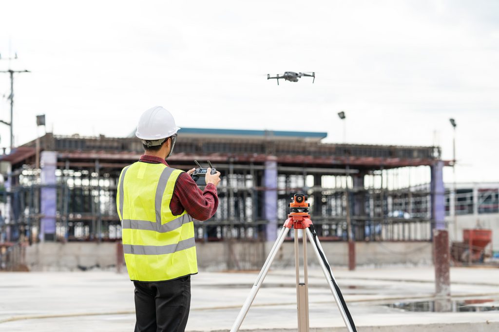
3. Master‑Planned Housing Developments
Large subdivisions sprawl over acres of raw land. Early grading errors ripple through every block and cost thousands to fix. With drone video services, developers capture elevation data before bulldozers roll in. This data helps engineers fine‑tune drainage plans and road grades. As streets and foundations appear, drone commercial services keep a living map of utilities, lot lines, and model‑home locations. Sales teams use polished aerial clips to attract buyers online, boosting pre‑sales before the first house is framed.
4. Energy and Utility Installations
Solar farms, wind parks, and substations cover remote fields where access roads may not exist yet. Drone commercial services reach these spots quickly, scanning terrain for slope, shade, and soil stability. Thermal sensors can even spot hot spots on solar panels once arrays go live. Next, routine fly‑overs limit worker exposure to high‑voltage zones. Drone video services supply visual proof for regulators and insurance carriers, showing that safety clearances meet code without sending staff up towers or across fragile panels.
5. Bridge and Overpass Builds
Elevated structures pose unique hazards. Crews must inspect piers, beams, and deck forms high above water or traffic. Drone video services provide close‑up footage from angles lifts cannot reach, all without shutting lanes. Engineers pause frames, zoom in on rebar ties, and confirm bolt placements. In addition, drone commercial services map river depth and bank erosion around new piers. This data guides cofferdam design and helps environmental teams monitor sediment shifts. The result is a safer build and fewer mid‑project surprises.
Takeaways
From skyscrapers to solar rows, drones supply fast facts that decision‑makers can trust. Drone video services turn complex sites into clear visuals, while drone commercial services add layers of measurement, thermal insight, and 3‑D modeling. Builders who adopt these tools finish jobs sooner, cut rework, and share progress with ease. As regulations adapt and equipment costs drop, more crews will trade clipboards for controllers—and gain a sky‑high edge in the process.